Stellar Cartographies
Stellar Cartographies is a set of studies built from astrophysical catalogues and derived maps, focused on how large datasets can become readable, designed images. The work is interested in density, structure, and scale, and in treating scientific plots as a kind of cartography rather than a chart.
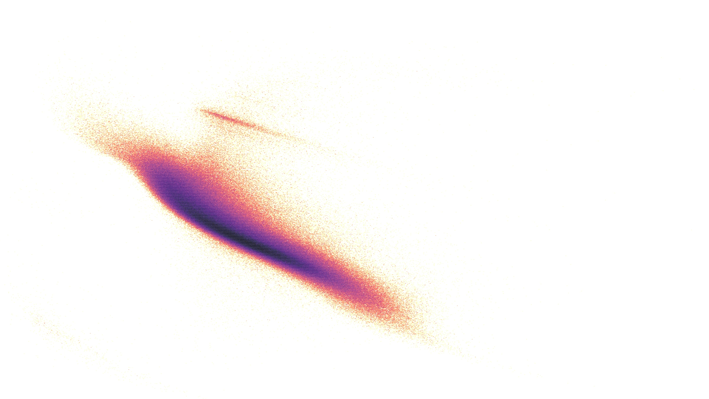
The current anchor is a family of Gaia HR diagram maps and related views, tuned for legibility and tone, and developed with both screen presentation and print outcomes in mind. Over time, the project can expand into companion atlas views that connect stellar populations to position, motion, and selection effects.
Gaia HR maps study
In scope
- •HR diagram density maps and variations
- •Companion 'atlas' views (sky distribution, motion, selection)
- •Controlled aesthetic treatments for legibility and hierarchy
- •Short loop studies where motion adds clarity
Outputs
- •A small set of finished atlas plates (stills)
- •A compact project page with selected frames and notes
- •Optional short loop studies for screen presentation
- •Documentation suitable for publication and collaboration
Status
In development
Seeking
- •Astronomy collaborators open to light-touch consultation
- •Data partners or institutions interested in public-facing visual work
- •Opportunities for presentation in education or exhibition contexts